Not long ago, we shared news about the latest update to the Ruhavik app.
One of the new features introduced was the addition of the maritime measurement system, incorporating nautical miles and knots 🌊
Today, we are excited to dive into the world of marine tracking, highlight the benefits of using watercraft tracking technology and showing you how to track marine transport using our application.
⛵️ Advancing Maritime Safety with GPS Tracking Technology
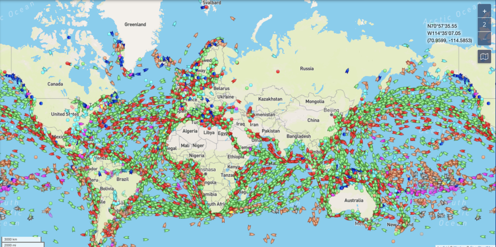
Maritime transportation plays a significant role in global traffic. From cargo ships transporting goods across oceans to luxurious yachts cruising along scenic coastlines, the maritime industry encompasses a wide array of vessels serving diverse purposes.

In calendar year 2022, the Coast Guard counted 4,040 accidents that involved 636 deaths, 2,222 injuries and approximately $63 million dollars of damage to property as a result of recreational boating accidents.
Compared to 2021, the number of accidents decreased 9.0%, the number of deaths decreased 3.3%, and the number of injuries decreased 15.9%.
The integration of GPS tracking in watercraft brings about numerous advantages, contributing to a safer and more efficient maritime experience. GPS trackers offer a wide range of benefits that significantly enhance safety and efficiency on the water.
Let’s dive into the benefits of employing GPS tracking in water transportation!
Advantages of Watercraft Tracking
🔹Precise Location Tracking
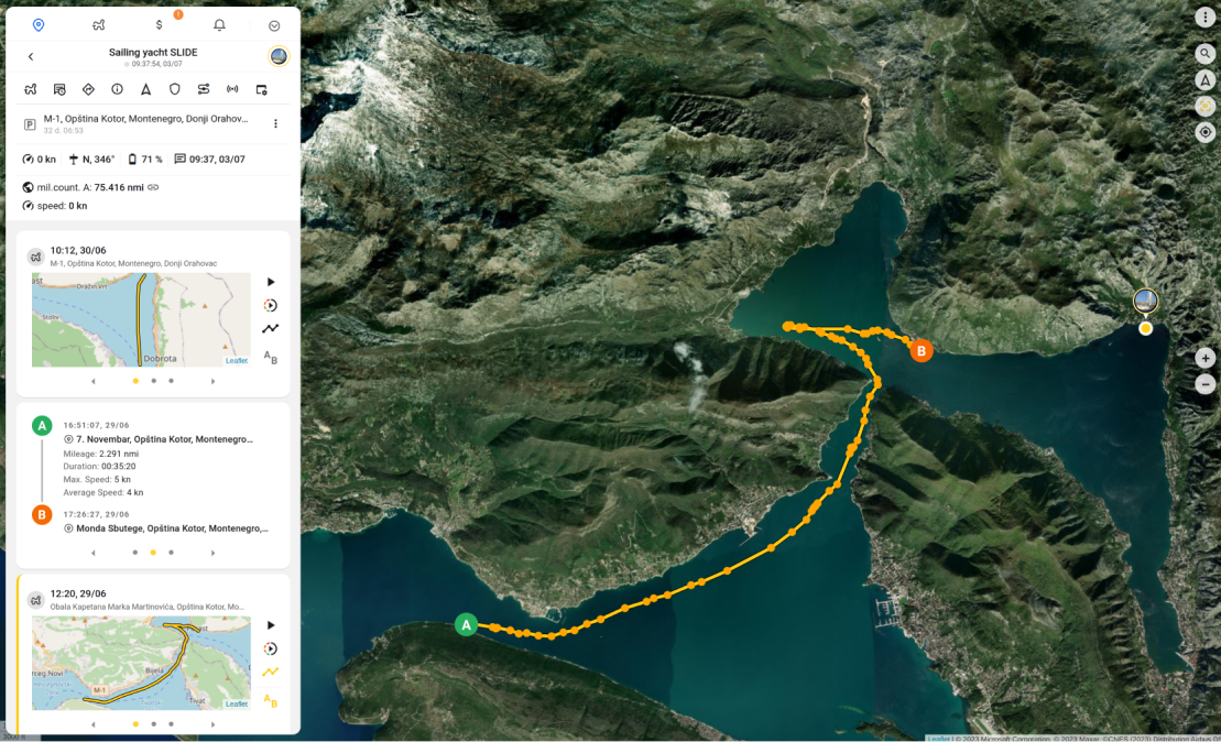
One of the most significant advantages of watercraft tracking is the enhanced safety and security it offers. By knowing the precise location of their vessels in real-time, boat owners can quickly respond to emergencies, coordinate rescue efforts, and ensure the well-being of passengers and crew.
By using satellites to pinpoint exact coordinates, GPS trackers offer unparalleled precision, allowing vessel operators to know their precise position on the water at all times.
With the marine measurement metrics integrated into the Ruhavik app, watercraft owners can now effortlessly receive crucial information about their vessels.

🔹Optimized Route Planning
Watercraft tracking systems empower boaters to optimize their route planning, avoiding hazardous areas and adverse weather conditions. By analyzing historical tracking data, boaters can identify the most efficient and safe routes, leading to fuel savings and reduced travel time.
With GPS trackers on board, vessel operators can keep track of their watercraft’s speed in real-time. Monitoring speed is essential for adhering to speed limits in restricted zones, maintaining fuel efficiency, and ensuring a safe and smooth sailing experience.

🔹Safety and Security. Geofencing
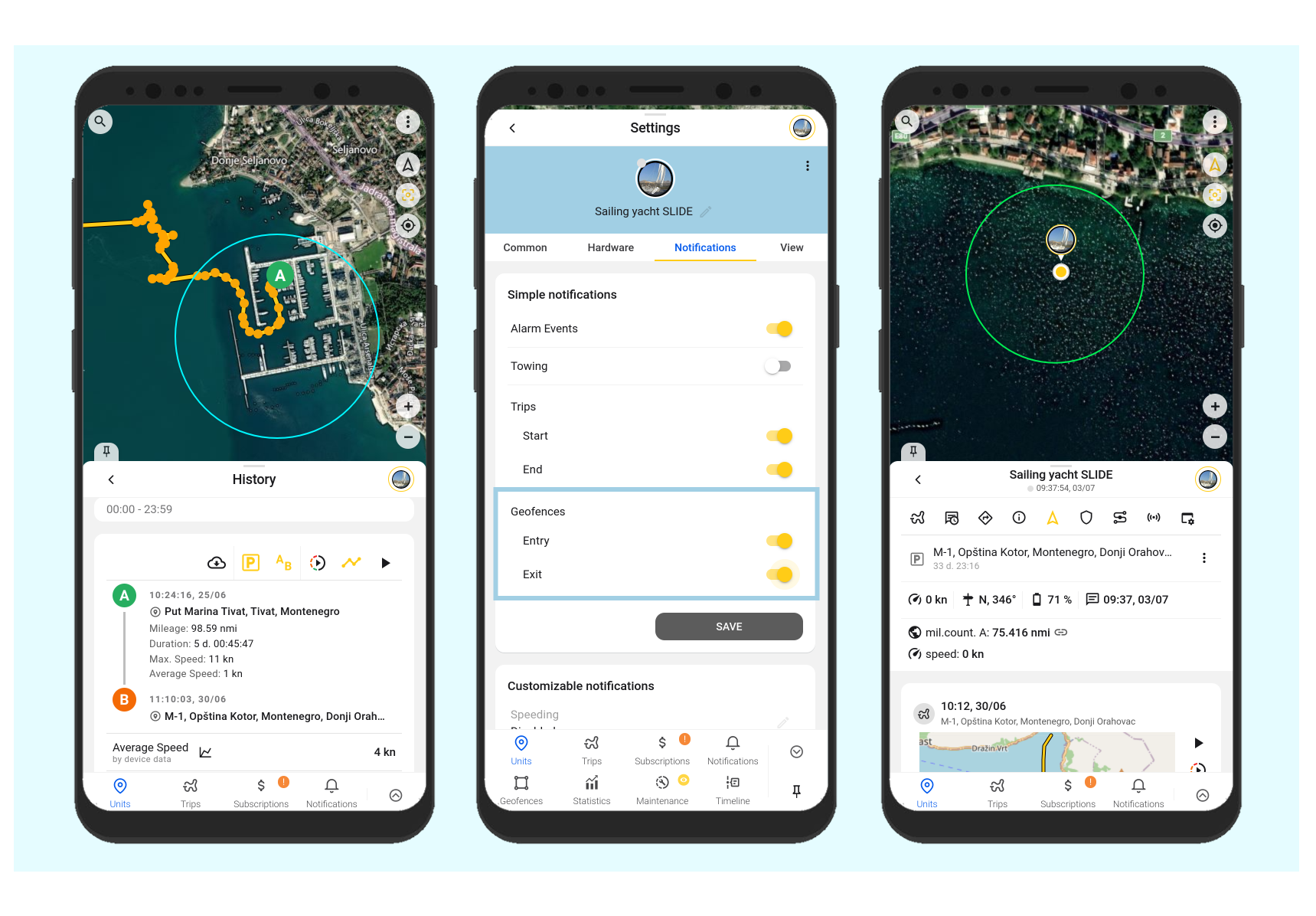
Marine GPS trackers play a vital role in enhancing the safety and security of both crew and cargo. GPS tracking enables the creation of virtual boundaries, known as geofences, around specific areas.
When a watercraft enters or exits these predefined areas, geo-fencing triggers notifications or alerts.
This feature is particularly valuable for monitoring vessel movements in restricted zones, anchorage areas, or high-risk regions. It allows for improved control over vessel operations and ensures compliance with maritime regulations.
In our applications, you have the ability to set up geofences and configure notifications when entering or exiting these areas.

🔹Weather and Environmental Data ⛈
Some advanced GPS trackers come equipped with environmental sensors. These sensors can measure parameters such as water temperature, atmospheric pressure, and humidity. This data is invaluable for monitoring weather conditions and making informed decisions regarding voyage planning, cargo safety, and crew well-being.
🔹Fleet Management Efficiency
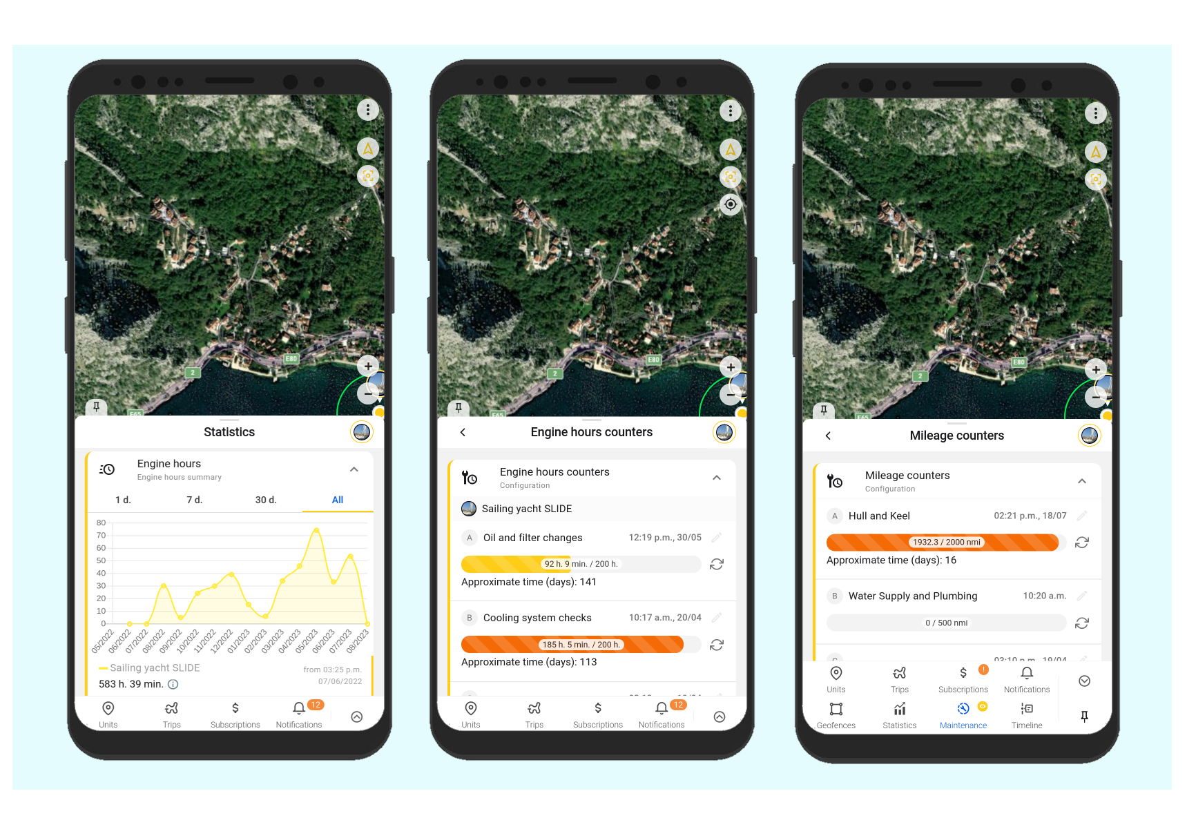
For commercial watercraft operators, tracking solutions play a crucial role in fleet management. Watercraft tracking systems enable companies to monitor the performance of their vessels, schedule maintenance tasks, and improve operational efficiency. This level of control translates to reduced downtime, lower maintenance costs, and increased profitability.
Now, with Ruhavik boaters and yacht enthusiasts can precisely monitor their vessels’ movements and speeds, ensuring a more comprehensive and accurate tracking experience on water.
As the maritime industry continues to embrace tracking technology, the future promises even more innovations to further enrich the boating experience and ensure the safety and efficiency of water transportation.
⛵️ Set sail with us and embark on a journey to new maritime horizons 🙂